Building Strong® at the Depoe Bay

2 aerial images of Depoe BayDepoe Bay is located on the Oregon coast 100 miles south of the mouth of Columbia River.

The entrance to Depoe Bay features two breakwaters to the north, an eight-foot-deep, 50-foot-wide entrance channel, an inner basin with a retaining wall on the east side of the bay and a sediment basin near the mouth of Depoe Bay Creek. The most recent improvements were completed in 1966. Facilities in the inner basin of Depoe Bay consist of landings and floats to accommodate operators of excursion and commercial fishing boats.

The Corps of Engineers does not maintain recreation facilities at this location. Please stay off the jetties as they are hazardous and not intended for recreational use. Nearby and/or adjacent recreational facilities fall under the jurisdiction of private, local or state agencies. Learn more about jetties and why they are unsuitable for recreation at Understanding Coastal Jetties.

Corps plans Depoe Bay dredging

The U.S. Army Corps of Engineers will begin dredging Depoe Bay, Ore. to remove 2,000 cubic yards of material between September 13 and the end of the month. The work will take place for seven to 14 days and is an effort, with the City of Depoe Bay, to clean out the sediment catch basin.
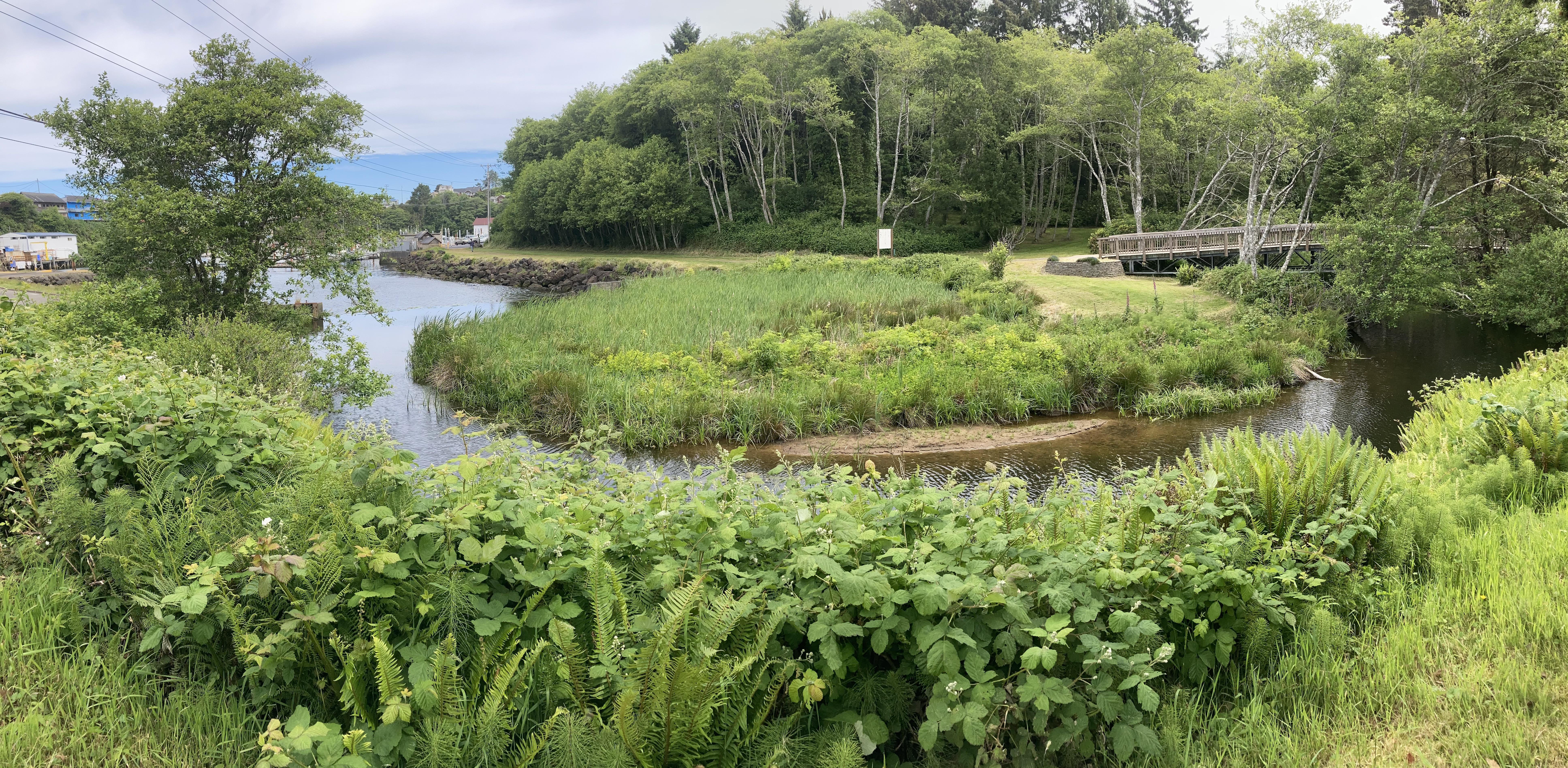
 

Sediment catch basin (above)

Regular dredging, which happens every eight to 10 years depending on funding, will keep the boat basin clear (the boat basin catches sediment coming down the river and acts like “grease trap”). The upland site is on private property and located about two miles from the work area. The Corps previously cleaned out the catch basin in 2005.

The Corps used the National Environmental Policy Act to complete a Supplemental Environmental Assessment (available here: SEA and Finding of No Significant Impact) and partnered with the Environmental Protection Agency, National Marine Fisheries Service, and U.S. Fish and Wildlife Service to minimize effects of the project on the environment.

The Depoe Bay federal project is a boat basin located in a small inlet off the Pacific Ocean and a check dam on South Depoe Bay Creek, in Depoe Bay, Lincoln County, Ore. The harbor has 85,000 pounds in fish landings valued at $72,323 (2010) per year, 16,000 commercial and 15,000 recreational crossings per year, is home to a U.S. Coast Guard Station and is a critical harbor of refuge.
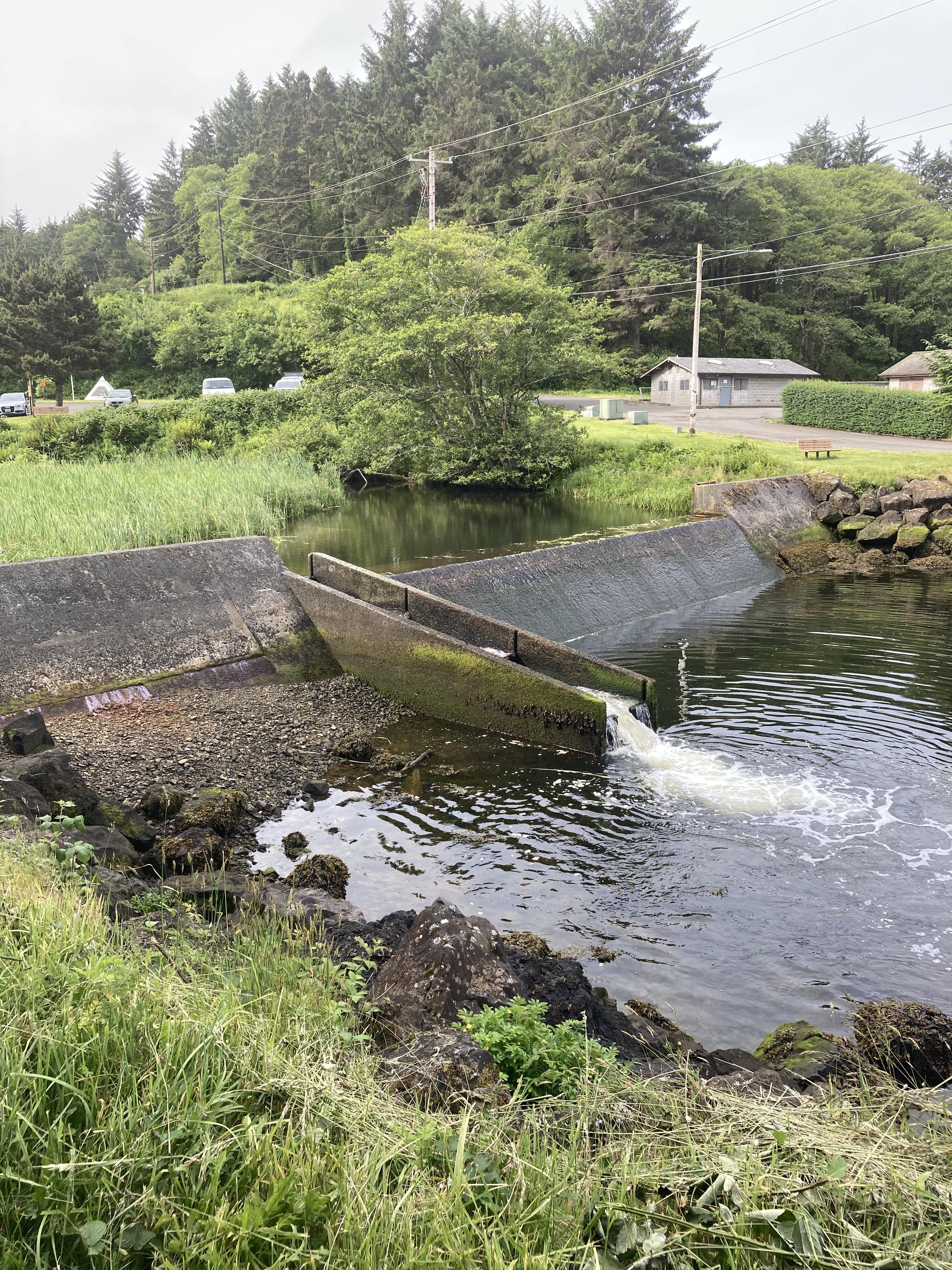
Check dam (above)

For more information

Oregon Coastal Harbors pamphlet

Contact us:

Phone: 503-808-4510

Email us about the Depoe Bay Project

Latest News Releases

Corps of Engineers dedicates new coastal survey vessel in Newport
1/23/2023
The U.S. Army Corps of Engineers’ Portland District officially welcomed its newest hydrographic survey vessel, the Beeman, with a dedication and christening ceremony in Newport, Oregon, Jan. 11...
9,200 buckets later, Corps dredging halfway complete at Gold Beach
9/9/2022
A giant bucket – the size of a 1970s Volkswagen bus – swings through the air after it gobbles up 20 cubic yards of gravel blocking (shoaling-in) access to parts of the Port of Gold Beach, Ore. The...
Corps awards $5 million contract for Rogue River dredging at Gold Beach
3/15/2022
Army officials announce a $5.3 million contract award for dredging the Rogue River at Gold Beach, Ore. The U.S. Army Corps of Engineers (Corps) maintains navigation channels along the Oregon coast and...

Related

Redirecting...

Operations: Depoe Bay

Collapse All Expand All
 General information
Facilities are considered adequate for existing commerce.

Channel:
Two 160-foot breakwaters are at the north end of the entrance channel.
The channel is 50 feet wide and eight feet deep with additional width at the seaward end.

Boat basin:
The boat basin is 750 feet long, 390 feet wide, and eight feet deep.
There is a concrete retaining wall on the east of the boat basin.
There is also a sediment check dam and catch basin on South Depoe Creek.

 Map
Graphic illustration map of Depoe Bay
 Authorization
Rivers and Harbors Acts of Aug. 26, 1937, and March 2, 1945.
Section 107 Project in 1960.